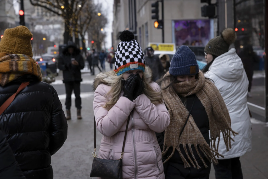
An extreme cold watch issued for the entire Chicago area this week has been upgraded by the National Weather Service to an extreme cold warning, with some schools already announcing closures ahead of what’s expected to be one of the coldest days the Chicago area has seen in years.
The dangerously cold weather for Illinois comes as millions of people from New Mexico to the Carolinas brace for a potentially catastrophic ice storm that could that could crush trees and knock out power for days, the Associated Press reported. That same system, which could bring snow to northern Illinois Saturday, is set to move to the east coast this weekend, where forecasters say the snowy conditions could make travel nearly impossible.
When and where will the extreme cold hit?
The sharp drop in temperatures and wind chills will come overnight, starting at about midnight. At 3 a.m., the extreme cold warning for all of northeastern Illinois and part of southeastern Wisconsin will go into effect.
“This time tomorrow morning, we’re down to -10,” Roman said at 5 a.m. Thursday. Even colder air temperature readings were expected in counties to the north and west, between 6 a.m. to 11 a.m.
Wind chills will be even worse. Earlier in the week, forecasters said “feels-like” temperatures Friday morning could be as low as -30 or -35, but the predictions are even colder now.
“Perhaps down to -40,” with the NWS saying the coldest wind chills will be expected across interior portions of northern Illinois.
Friday morning in Woodstock, the predicted “feels-like” temperature was -40 degrees. The temperature was expected to feel like -39 in DeKalb, -37 in DuPage, and -38 in Waukegan.
To the south and east, wind chills would be slightly better, in the -20s.
Through 11 a.m. Friday, the cold will be the most “critical”, as the temperatures and wind chills could lead to frostbite in as little as 10 or 15 minutes.